European Day of Geodesy and Geoinformation is celebrated every year on March 5.
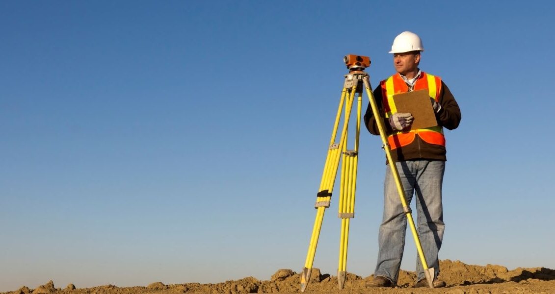
Geodesy is a science that studies the methods of depicting the Earth on maps, helps determine the size and shape of our planet, and makes accurate measurements on the ground.
Geoinformation z is a certain system of collection, analysis, visualization and storage of spatial data; resource of geoinformation technologies.